If licensed, a number of different weather types can be viewed within the application.
These currently consist of the following:
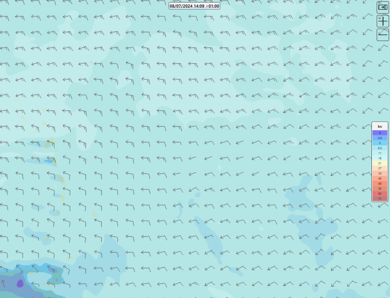
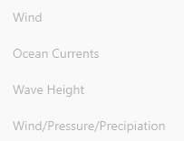
- Wind - (Wind speed and direction at 10 m above the ground level)
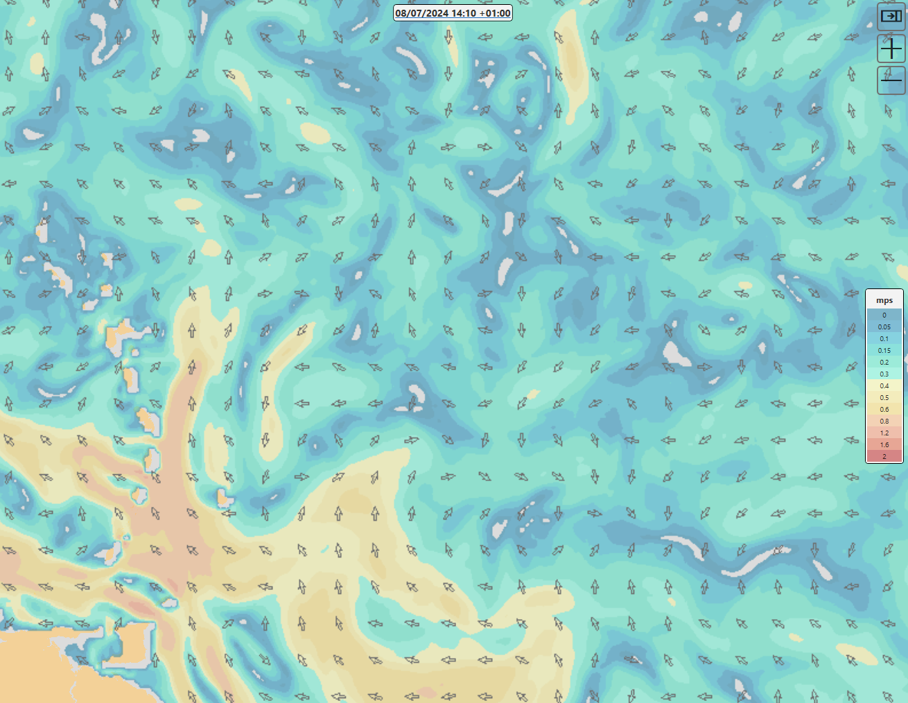
- Ocean Currents - (Ocean currents at 5 m depth level)
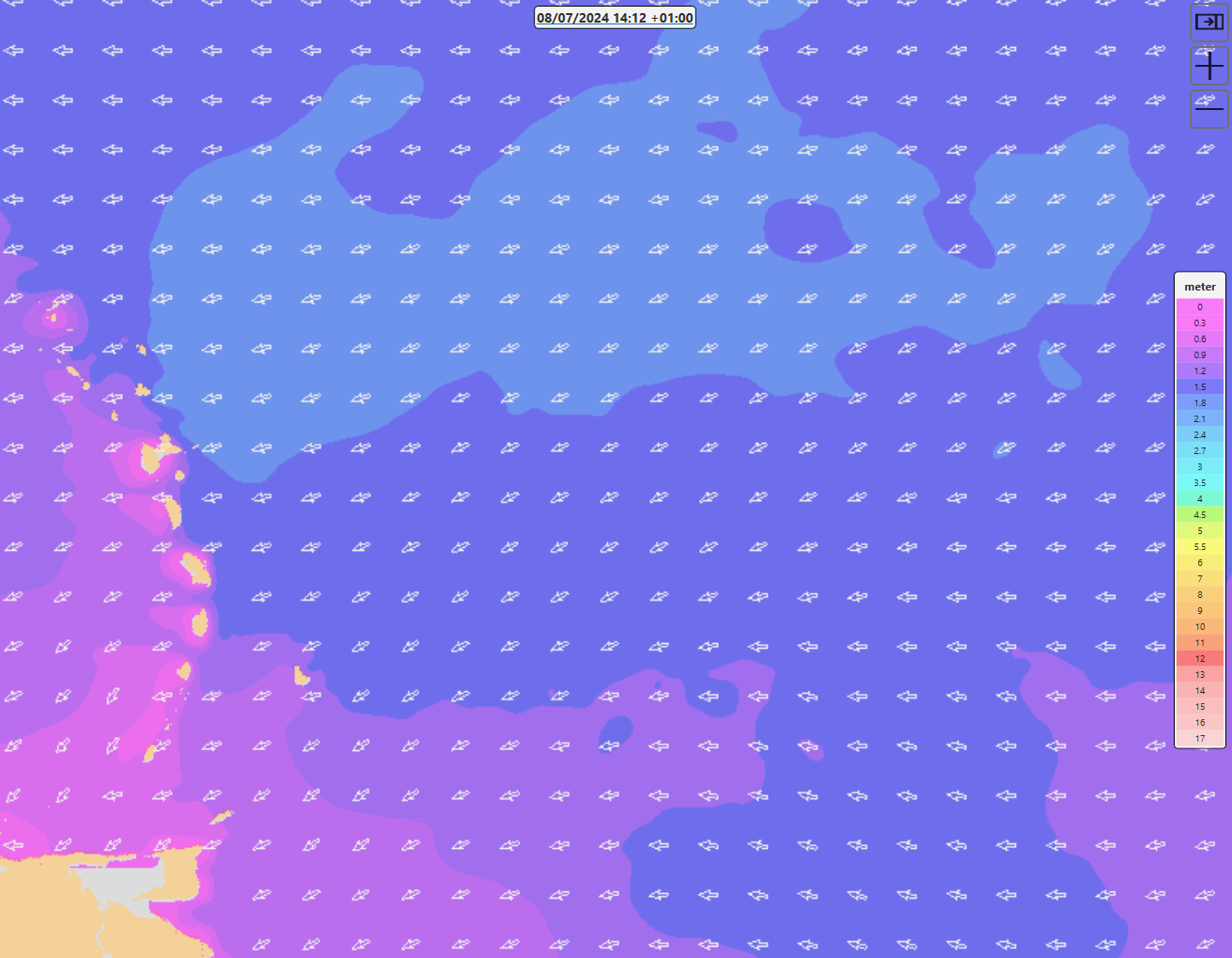
- Wave Height - (Mean wave height (trough to crest) of the highest third of the waves and the mean of all the individual wave directions in a time-series representing a certain sea state)
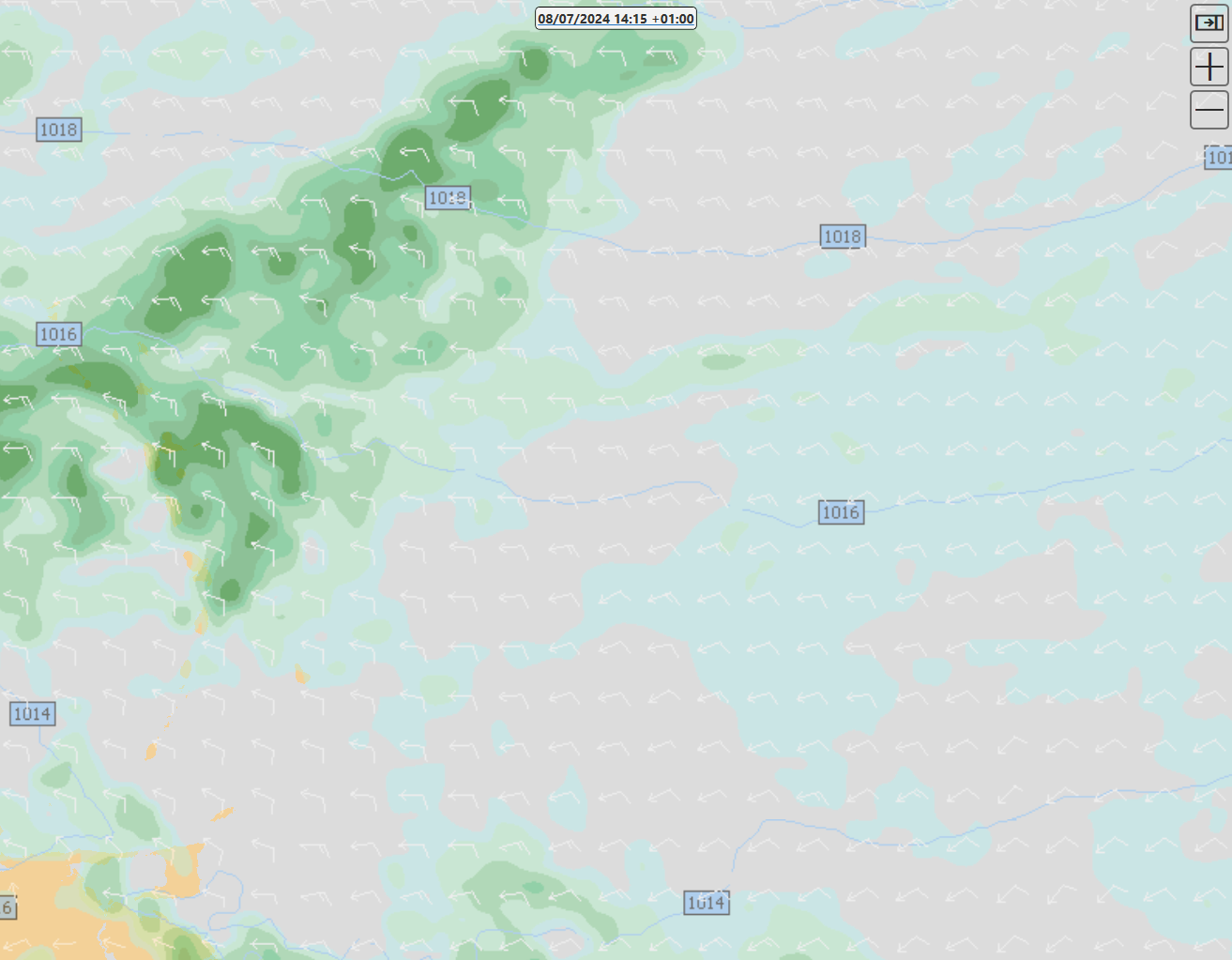
4.Wind/Pressure/Precipitation Wind speed (kn) and direction (degrees) + Mean sea level pressure (hPa) + Accumulated precipitation (mm)
These layers can be turned on an off via the layers menu. 
Please note that an active internet connection is required to view these layers. If the application is in offline mode the layers will not be visible / enabled
Changing time
To view the weather for a different date / time use the control at the top of the map. You can hover over it to access options to advanced / rewind time by an hour or a day.

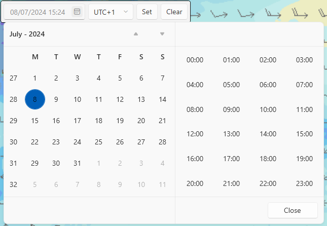
Alternatively you can click on the underlined current time to manually select a value
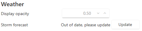
Changing opacity
By default the weather layers are set to 50% opacity. This ensures a the weather display is visible while still having any ENC information being shown underneath. If for whatever reason the ENC or Weather information needs to be more prominent, this can be controlled by the "Display opacity" value in the settings tab
#Storm Data
Storm information can be shown by enabling the Storms layer
If there are any active storms they will be overlaid onto the map
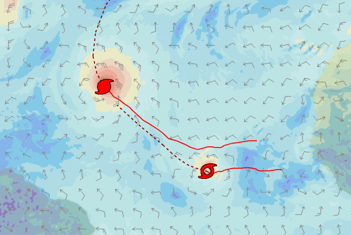
The dotted line shows the estimated future path
The current status of the storm forecast data can be found in the settings tab
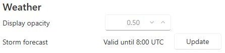
If the forecast is out of date the display on the map will be greyed out and the status updated accordingly